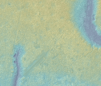
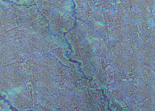
DEM Creation Service Using Sentinel-1 Satellite Data and InSAR Techniques
Service Overview: Our DEM Creation Service leverages cutting-edge Interferometric Synthetic Aperture Radar (InSAR) techniques and high-resolution Sentinel-1 satellite data to generate accurate and detailed Digital Elevation Models (DEMs). This service provides invaluable insights for a wide range of applications, including urban planning, infrastructure development, environmental monitoring, and disaster management.


Key Features
High-Resolution Elevation Data: Utilizing Sentinel-1 satellite data, our service offers high-resolution DEMs (14m) that capture fine details of the Earth's surface, ensuring precise elevation measurements.
Customizable Dates: Our service provides customizable acquisition dates, ensuring that users have access to the most current and accurate information for their projects.
InSAR Techniques: Employing advanced InSAR techniques, our service measures topographic changes with high accuracy, enabling reliable elevation modeling.
Global Coverage: Sentinel-1's global coverage allow us to generate DEMs for large geographic areas, including remote and inaccessible regions.
Customizable Solutions: We offer tailored DEM solutions to meet specific client requirements, whether for small-scale studies or large-scale regional assessments.


Applications
Urban Planning: Optimize infrastructure development and land-use planning with precise elevation data.
Infrastructure Development: Ensure accurate site assessments and construction planning for wireless communications, roads, bridges, and buildings.
Environmental Monitoring: Track changes in terrain and vegetation for environmental conservation and resource management.
Disaster Management: Enhance preparedness and response efforts by monitoring areas prone to natural hazards such as landslides, floods and wildfire.
Contact Us
Reach out for inquiries about our DEM creation services and how we can assist your projects.
