Change Detection Service Using Sentinel-1 Radar Imagery and InSAR-Derived Elevation Data
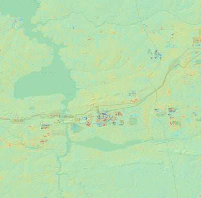
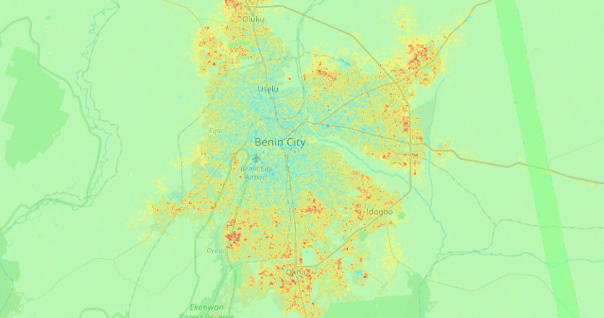
Our Change Detection Service utilizes advanced Interferometric Synthetic Aperture Radar (InSAR) techniques and Sentinel-1 radar imagery to monitor and identify changes over large areas with a resolution of up to 14 meters. This service provides essential insights for various applications, including environmental monitoring, infrastructure management, and disaster response.


Key Features
High-Resolution Change Detection: Leveraging Sentinel-1 radar imagery, our service delivers precise change detection at 14-meter resolution, ensuring accurate and detailed analysis of surface changes.
InSAR-Derived Elevation Data: Utilizing InSAR techniques, we provide reliable elevation data that enhances the detection and interpretation of surface changes, even in challenging environments where imagery alone does not indicate change.
Comprehensive Area Coverage: Our service can monitor extensive geographic regions, making it ideal for large-scale applications such as urban development, natural resource management, and climate change studies.
Real-Time Monitoring: We offer near real-time change detection capabilities, allowing users to track and respond to changes as they occur, ensuring timely decision-making.
Customizable Solutions: Tailored solutions to meet specific client needs, from small-scale projects to large-scale regional analysis.


Applications
Environmental Monitoring: Track changes in land use, vegetation, and water bodies for sustainable environmental management.
Infrastructure Management: Monitor structural integrity and identify potential issues in infrastructure such as roads, bridges, and buildings.
Disaster Response: Enhance preparedness and response efforts by detecting changes related to natural hazards like landslides, floods, and earthquakes.
Urban Development: Support urban planning and development by monitoring changes in urban landscapes and infrastructure.
Contact Us
Reach out for inquiries about our DEM creation services and how we can assist your projects.
